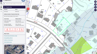
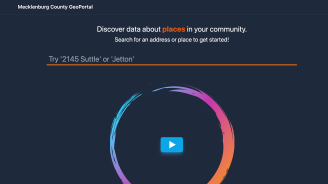
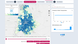
POLARIS (Property Ownership Land Records Informations System) is the County’s premiere property ownership and mapping system, with over 80 different mapping overlays. The interactive maps include zoning overlays, floodplain overlays, post construction buffers, historic districts and other data to help inform potential buyers and sellers about regulated restrictions associated with a property.

Geospatial Information Services (GIS)
GIS Provides quality geospatial data and technology solutions to County departments and residents.
Geospatial Information Services (GIS) is a division of the Mecklenburg County Land Use and Environmental Services Agency. GIS oversees a variety of mapping and data resources and services available to residents and employees.
Popular Online GIS Systems
Explore our many other mapping systems in our GIS Apps Gallery
Contact Customer Service
- Change Your Mailing Address on your Property or Tax Parcel Record
Property assessment information and tax bills are mailed to the address contained in the Assessment records.
- Request Parcel Ownership Record or Parcel Boundary Corrections
Request changes via the Database Attribute and Mapping Correction Form.
- Download and Use County GIS Data
Download our dataset, including GIS shape files, to build your own applications.
- General Service Requests
For all other customer services requests, fill out this form.


